Karababa Castle on Eubea
Located just beyond the bridge connecting mainland Greece with Chalkis. Restored, it enjoys considerable interest among tourists.
It is the best-preserved castle on Euboea, with a small museum. Built in the 18th century by the Turks to defend against Venetian invaders.
Karababa Fortress, although located outside the borders of Chalkis, is today very popular and frequently visited by tourists.
Built on a hill, on the other side of the Euripus Strait, it overlooks the city. From here, there is a vast panorama of the capital of the island, Euboea.
It is no wonder that this site was chosen for the construction of the fortress, now known as Karababa Castle.
It is difficult to find accurate information about how the area was utilized before. It is known that in ancient times, the city was called Kanithos. From this period, a few remains of buildings and graves have survived.
Probably, during the Roman period, the hill was fortified.
According to researchers, the area was not fortified during the Byzantine, Venetian, or early Turkish occupation.
The castle, the remains of which we can still admire today, was probably built in 1684 by the Turks to protect Chalkis from the Venetians.
It fulfilled its purpose in 1688 when the fortress was besieged by the Venetians led by Morozini.
The Turks managed to hold it until the liberation of Greece, when they handed it over to the Greek state.
The fortress, although built by the Turks, was designed by the Venetian architect Gerolimo Galopo, which is why its appearance is European.
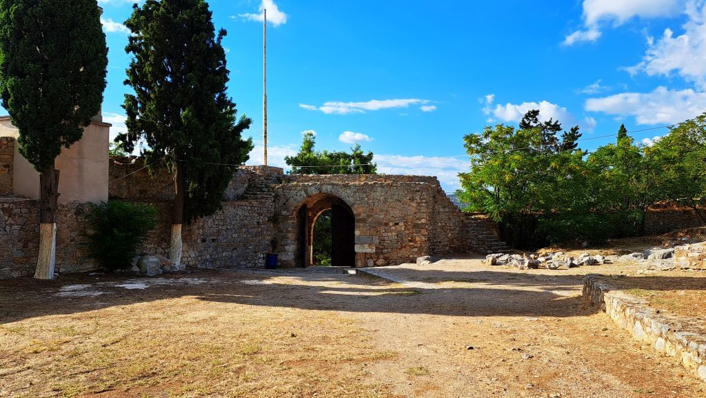
The wall, relatively thin, is accessible to visitors. It has been better preserved on the northern side than on the southern. In places, one can climb it to enjoy the views. Three bastions and a tower enhance the joy of visiting, especially for younger visitors.
On the walls, there are two large 19th-century cannons.
On the fortress grounds, there is a small church from 1895 dedicated to the prophet Elijah.
The western end of the walls is occupied by a seven-sided tower, which houses a small but very atmospheric museum.
A narrow, stone corridor reminiscent of a labyrinth with arched ceilings hides many interesting exhibits and a wealth of knowledge not only about the castle but also about other monuments of Chalkis.
The architectural elements accessible to visitors, decorations of church and secular buildings, inscriptions, coats of arms, and tomb reliefs are arranged chronologically into the following periods: early Christian, middle Byzantine, Frankish, and Ottoman.
Inscriptions testify to the presence of a Jewish community on the island.
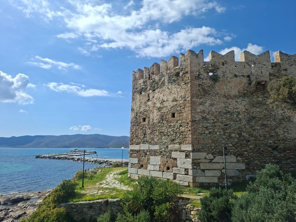
Bourtzi Castle
It is located by the sea. The name of the castle comes from Arabic and means "coastal fortress".
Built in the 13th century from marble and stone, it was meant to protect the island from enemies coming from the south.
The castle was probably built using marble from a nearby Roman mausoleum.
The structure is simple, shaped like a hexagonal tower.
A massive iron gate leads to the two-story building. Above the entrance is an opening through which boiling oil was poured on enemies trying to invade the bastion's interior.
The castle has arrow slits and machicolations from which tar, hot water, and oil were thrown at enemies.
On the southern and eastern sides, both of which face the sea, there is a defensive embankment.
It is said that there was a 250-meter tunnel here, used for water supply, communication, or as an escape route in case of siege.
Today, the castle serves as an exhibition space and is open to visitors.
Castello Rosso
Just 3 km north of Karystos, there is the largest castle on the island. Built from yellow and gray stone, it is unclear why it was named "Castel Rosso."
Once, there was the acropolis of ancient Karystos, of which the only remnants are large rectangular blocks of marble used in the lower parts of the western tower.
The first bastion was erected by the Byzantines in 1030.
Castello Rosso was built by Baron Ravano dalle Carceri, a triarch. He received one-third of the southern part of Euboea. The current fort was probably built on the foundations of the previous one between 1209 and 1216.
The castle remained under Venetian control until it was conquered by the Ottoman Turks in 1470.
"To this day, the local attraction beyond the castle is the remains of the medieval aqueduct, which brought water from springs on the opposite slope of the hill. Because it was always exposed to attacks, large quantities of water were stored in cisterns and in a well located beneath the chapel's floor."
"The Ottoman Empire fortified the bastion."
"During the Greek Revolution in 1821, many battles were fought for the castle, which was only returned to the Greeks in 1833."
"The tower in the southwestern corner, with its shooting holes, is an addition from the Ottoman period."
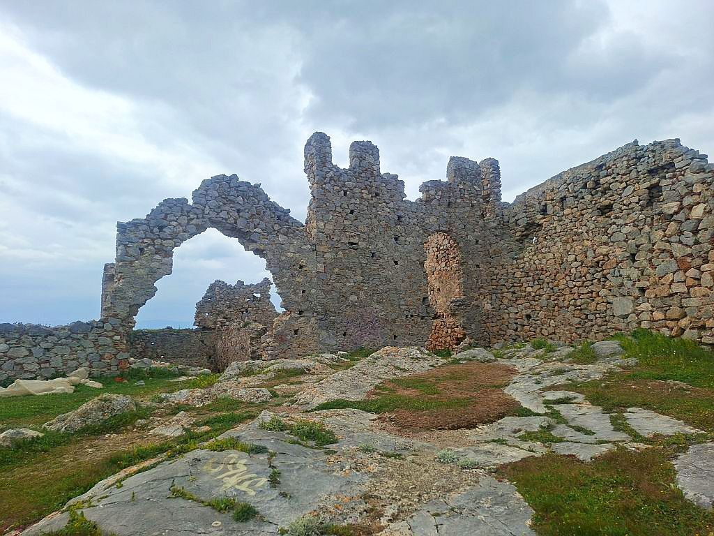
Rizokastro
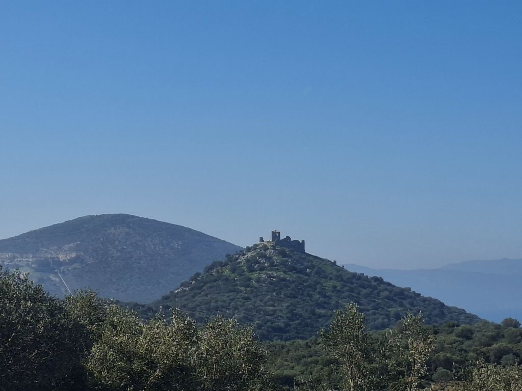
About 55 km south of Chalkis, the ruins of Rizokastro are located.
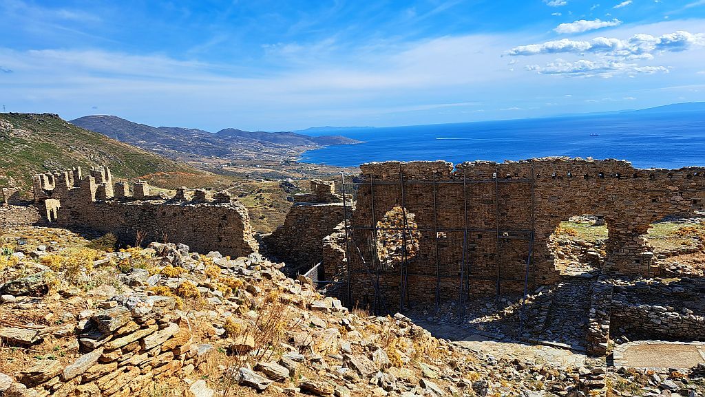
The castle fascinates some, while others claim it is not worth the effort. Located on a hill about 140 m above sea level, it requires time and energy or an off-road vehicle.
The ruins are not being restored. Left to their own devices, they appear neglected.
Historians have identified two phases of construction:
-
the first dates back to the early 13th century, when a tower and auxiliary building were built,
-
the walls and remaining structures were constructed later, in the 14th century, which confirms a different building style.
The castle was used only during the Frankish occupation. Later, during the Turkish occupation, it was abandoned. Even later, during the Greek revolution, the site was used as a prison for Turkish prisoners.
It is believed that Rizokastro belonged to a Frankish feudal lord. It also served as a storage for agricultural products. It was a refuge in case of enemy invasion. Allegedly, the castle is connected to the village of Milaki by an underground tunnel about 1.5 km long.
The castle covered a trapezoidal area. It was surrounded by a wall about 1.2 m thick, of which remnants remain.
In the central part of the fort stood a tower about 11 m high, whose walls still dominate the area today. It was a two-story building. Lighting was provided by 3 window openings whose size proves that comfort for the inhabitants was taken into account. The defensive cells were in the further plan.
The ruins of buildings and a water reservoir have survived.
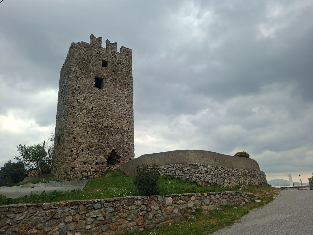
The Trachilios Tower
A Venetian tower from the 13th century, easily accessible by car as there is an asphalt road leading to the village.
It was used to convey information about impending danger from tower to tower.
Coupa Castle
From a historical perspective, Coupa Castle is unique.
Firstly, it was used continuously from ancient times until the Ottoman conquest.
Secondly, the elongated dimensions of the structure up to 650 meters led to long discussions about whether it was one or two castles. It was deemed to be one, adapted to the elongated peak of the rocky hill, because:
-
the distance between the discovered fortification buildings is too small to consider them separate,
-
historical sources and maps clearly indicate that there was one castle here,
-
the role of the possible two castles pertained to the same area,
-
the emergence and use occur at the same time.
It is known that the site of today's ruins was fortified in the 4th century BC. This thesis is confirmed by the walls built of large stone blocks.
Probably, for many centuries, the fortification did not undergo significant changes.
In the 8th century AD, the castle was probably captured by pirates after a long battle resulting in serious destruction.
In 1208, the castle fell into the hands of the Franks. It then became one of the most important fortifications in the island's defensive system.
In 1470, the castle was captured by the Turks. A mass execution took place here, during which 3,000 defenders were murdered.
The invaders first destroyed the castle to completely crush the morale of the local population. Later, appreciating its strategic location, they used the castle again.
The castle is hard to access. It is located on the top of vertical, difficult-to-reach rocks.
The Vasilikou Tower
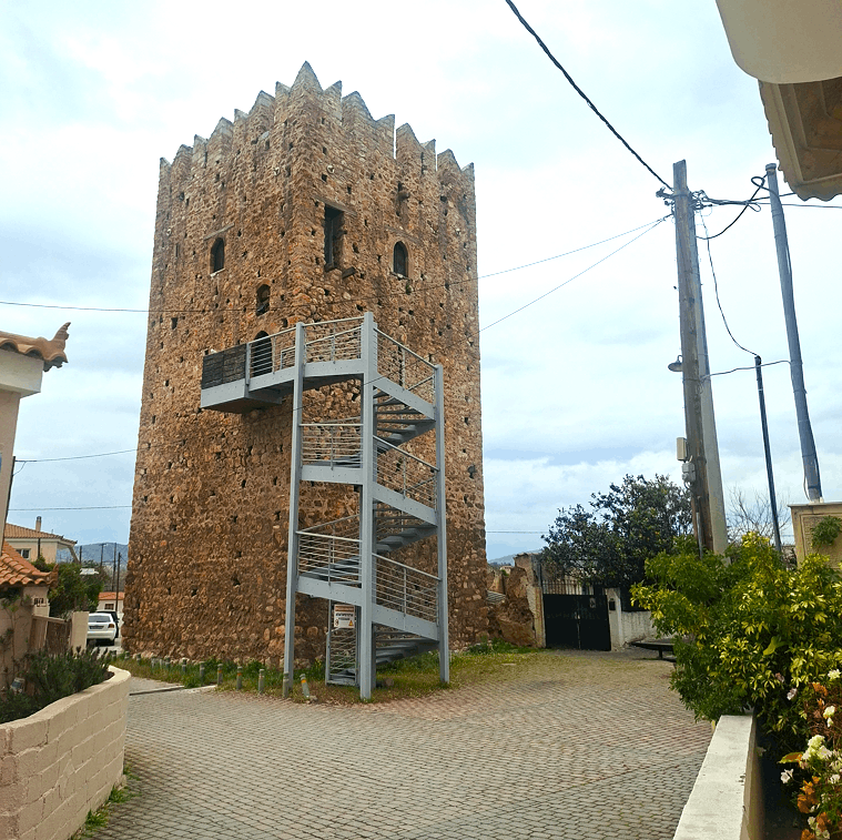
In the small village of Vasilikou, just 7 km south of Chalkis, there is a renovated, massive tower.
The tower, nearly 18 m high, had 3 levels. Although the ceilings collapsed, they were rebuilt during the renovation. The building has a square-like plan: 8.30×8.40 m. The renovated facades feature three arches on the first level and four window openings with arched tops.
The original shape of the roof is unknown, hence a new one, necessary for enabling visits, was built as a simple structure.
The main entrance to the tower is located 7 meters above ground level. Previously, wooden stairs led to the entrance. They have now been replaced by impressive metal stairs.
Inside the tower, preserved elements have been restored. An audiovisual exhibition has also been created to convey a wealth of information.
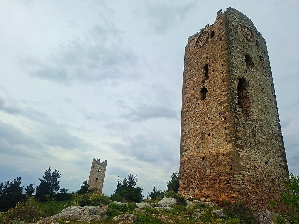
The Didima Tower
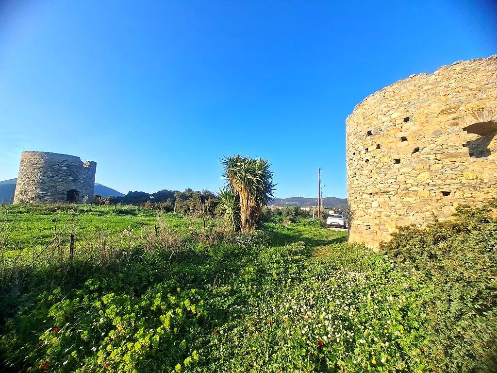
Two towers stand next to each other just 6 km southeast of Chalkis.
Both were built on a low hill at the foot of which the Lilandas river flows, probably in the 15th century.
It is assumed that their main purpose was not defense but control of the water supply to Chalkis. This thesis is confirmed by a mention from 1429 stating that one of the towers was the residence of a Venetian official responsible for the exploitation of the water supply system to the city.
Although both towers are square, they are not identical. One measures 7.5×7 m, while the other has a square layout with a side length of 6.10 m.
One of the towers has four round openings at the top of each side of the building. According to historians, they are remnants of clocks.
If the above thesis is true, then the tower would be the first clock tower in all of Greece.
Fort Fylla
This is another castle built in the vicinity of Chalkis. The strong fortification of the city was likely due to the need for protection against angry residents after the city was taken over and their properties confiscated.
Built on a hill, it allowed for the observation of vast areas.
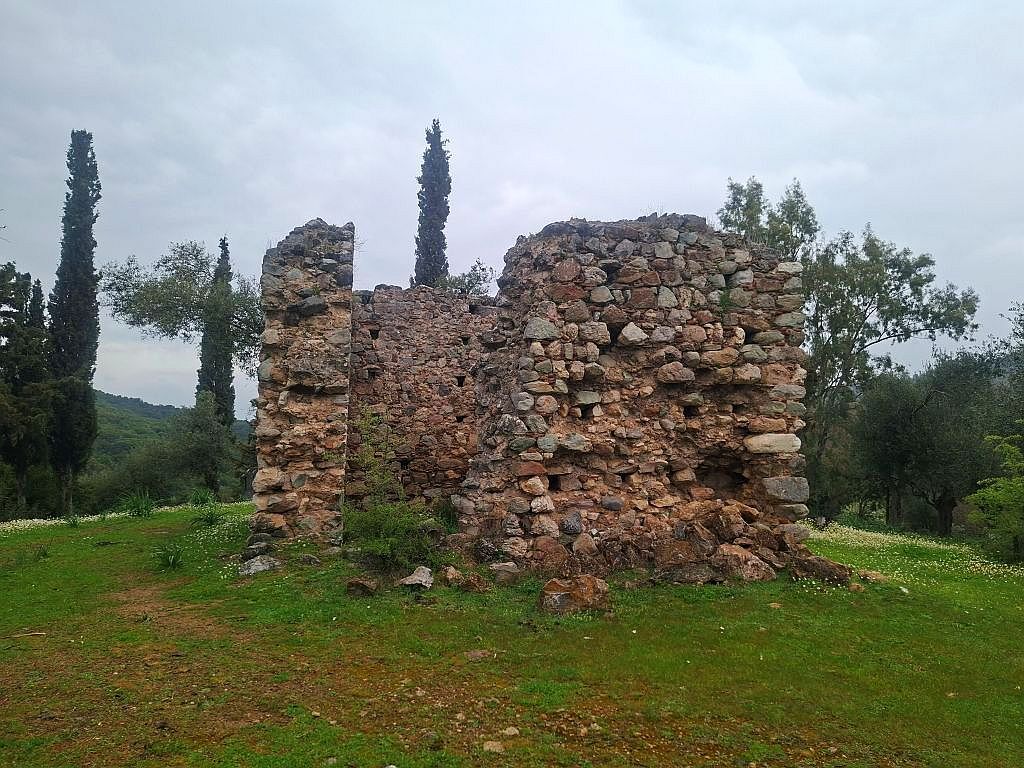
After the Turkish attacks, the ruins of the walls remain to this day. The castle was never renovated.
The Politiko Tower
A Venetian castle located in the center of the village of Politiko, about 20 km north of Chalkis.
The Fragoula Tower
About 9 km northeast of Loutra Edipsou, there are the remains of the Fragoula tower and a small chapel dedicated to Saint Agia Paraskevi.
Both structures are called "Agia Paraskevi" due to a relatively recently built church of the same name that replaced an older one.
It turns out that the close proximity of both monuments (about 50 meters apart) is not accidental.
They share a common history that begins after the Venetians captured Euboea in 1205. New fortifications were built throughout the island, and existing ones were restored and strengthened.
One of the ideas brought by the Venetians to the island was the so-called phryktorium. The name comes from phryktos, meaning torch, and horae, meaning care. These small structures were always built on elevations. Their purpose was to transmit signals over long distances. In case of danger, flames would emerge from them at night, and smoke during the day.
The Nisiotissa Tower
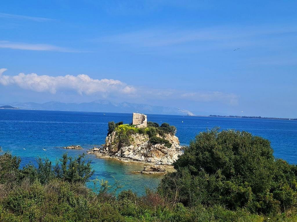
Located in the north of Evia, right by the beach of the same name, there is a tower whose purpose still has several mutually exclusive hypotheses. According to one theory, on the small islet of Nisiotissa, there is a castle built during the Ottoman occupation.
Ancient Dystos
The Kastri hill, about 300 m high, hides interesting structures from the 4th century BC.
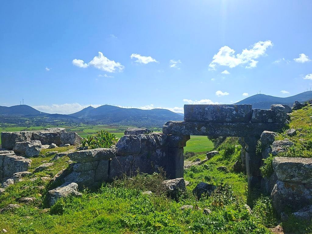
Thick stone walls are remnants of fortifications with eleven towers. To this day, the most photographed gate has survived. It may seem that little remains. However, archaeologists have proven extraordinary engineering skill.
Massive walls were built on the steep slope of the mountain. Most buildings were probably two-story, which significantly affected their weight. To prevent the stone blocks from sliding, they were set on shelves carved into the rock on one side while resting against solid retaining walls on the other.
The hill with the acropolis is located on an expansive plain. However, the city never moved "downhill." Probably because extensive wetlands are found at the foot of the mountain.
Historians encountered an extraordinary contract engraved on stone steles in Chalkis. It was concluded between 230 citizens of Eretria, and a contractor named Chaerephanes. It concerned the drainage of a lake. The plan included underground channels and pipelines for redirecting lake water to underground fissures.
The ancient acropolis was added to the group of fortifications on Evia thanks to the Venetians, who strengthened the walls and added a watchtower.